
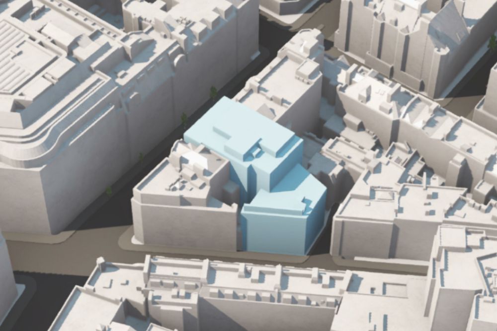
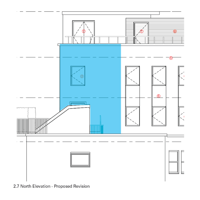
At Mortimer Street, WS Heritage Ltd. were commissioned to undertake a Heritage Impact Assessment that addressed the relatively extensive and involved redevelopment of this central London property, which sought to upgrade and enhance what was a modern but already dated building envelope.
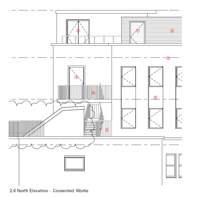
The project therefore included the replacement of existing curtain walling; the application of render to brick façades; the reorganization of ground-floor level facing; a new access; the introduction of balconies; the introduction of windows; the replacement of existing windows with new double-glazed units; and, new brick walling and an access on Bywell Place. Proposals also comprised the more general refurbishment of the building.
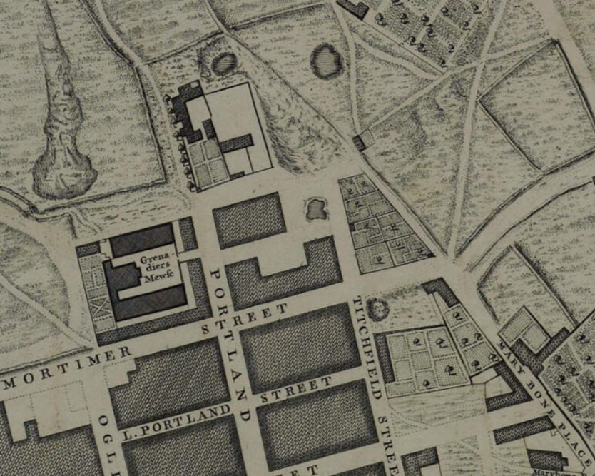
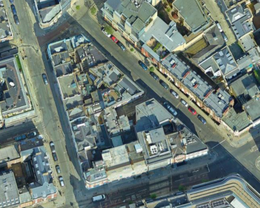
The application site is neither statutorily nor locally designated but nevertheless located within the immediate setting of Grade II listed nos. 34-38 Mortimer Street, a Grade II listed building that directly abuts the application site and was first designated in 1987. The application site is also located within the setting of a number of other listed buildings and within East Marylebone Conservation Area.
The relevant appraisal for the conservation area remarks that ‘East Marylebone today is characterised by its diverse townscape and the range and interest of its buildings and uses. It has a very urban character, with a rich mix of building types and styles; ranging from offices, light-industrial buildings and shops to terraced housing and mansion blocks.’
The comparatively ‘new’ structure comprising nos. 30-32 Mortimer Street is a particularly good example of the designation’s character and appearance from a modern perspective. This is still more positively highlighted at p.33 of the appraisal, which directed the refurbishment of the application site in the manner proposed:
‘There is relatively little in the way of more recent development in the Conservation Area. This has tended to involve refurbishment, reuse and recladding schemes, such as the very successful re-cladding of a 1960s block at 30-32 Mortimer Street’.
Despite such an interpretation, given the building’s period of construction, modern, unsympathetic design and a relatively poor condition, it proved to be of no historic or architectural significance in its own right. It was also considered a negative impingement upon the setting of its immediate neighbour, designated 34-38 Mortimer Street, whilst comprising an equally negative contributor toward the character and appearance of the overriding conservation area.
At Mortimer Street, WS Heritage Ltd. were commissioned to undertake a Heritage Impact Assessment that addressed the relatively extensive and involved redevelopment of this central London property, which sought to upgrade and enhance what was a modern but already dated building envelope.
The project therefore included the replacement of existing curtain walling; the application of render to brick façades; the reorganization of ground-floor level facing; a new access; the introduction of balconies; the introduction of windows; the replacement of existing windows with new double-glazed units; and, new brick walling and an access on Bywell Place. Proposals also comprised the more general refurbishment of the building.
The application site is neither statutorily nor locally designated but nevertheless located within the immediate setting of Grade II listed nos. 34-38 Mortimer Street, a Grade II listed building that directly abuts the application site and was first designated in 1987. The application site is also located within the setting of a number of other listed buildings and within East Marylebone Conservation Area.
The relevant appraisal for the conservation area remarks that ‘East Marylebone today is characterised by its diverse townscape and the range and interest of its buildings and uses. It has a very urban character, with a rich mix of building types and styles; ranging from offices, light-industrial buildings and shops to terraced housing and mansion blocks.’
The comparatively ‘new’ structure comprising nos. 30-32 Mortimer Street is a particularly good example of the designation’s character and appearance from a modern perspective. This is still more positively highlighted at p.33 of the appraisal, which directed the refurbishment of the application site in the manner proposed:
‘There is relatively little in the way of more recent development in the Conservation Area. This has tended to involve refurbishment, reuse and recladding schemes, such as the very successful re-cladding of a 1960s block at 30-32 Mortimer Street’.
Despite such an interpretation, given the building’s period of construction, modern, unsympathetic design and a relatively poor condition, it proved to be of no historic or architectural significance in its own right. It was also considered a negative impingement upon the setting of its immediate neighbour, designated 34-38 Mortimer Street, whilst comprising an equally negative contributor toward the character and appearance of the overriding conservation area.
Proposals did not increase the existing structure in terms of scale, height, or massing, but focused upon its façade, amenity, and internal layout. The setting and special interest of the adjacent Grade II listed building and the character and appearance of the conservation area will as such remain fundamentally preserved and enhanced.
Proposals did not increase the existing structure in terms of scale, height, or massing, but focused upon its façade, amenity, and internal layout. The setting and special interest of the adjacent Grade II listed building and the character and appearance of the conservation area will as such remain fundamentally preserved and enhanced.