
Our client commissioned us to undertake a Heritage Impact Assessment to address proposals for the repair, restoration and refurbishment of their property in Southeast London.
The document sets out the historic background of the locale and wider area, proposals and the potential for the significance of the relevant heritage assets to be affected.
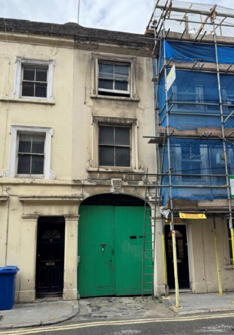
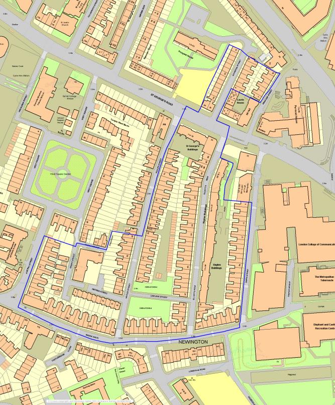
The site is not statutorily listed in its own right and neither does this reside within the setting of any other statutorily designated heritage asset. It does however form part of a group of locally listed buildings recognised as such by Southwark Council in 2023.
The site is also located within the Elliott’s Row Conservation Area. Proposals would not appreciably alter the status quo, except in a positive manner, and are not considered to result in any negative impact upon the Conservation Area, or how the character or appearance of this is appreciated. Its special interest remains fundamentally unaffected by proposals.
Southwark was initially a suburb of Londinium, the Roman provincial capital of Britain. This growth spread along what is now Borough High Street, which – in an approximate sense – aligned with the original Roman Road and linked to various important roads running south.
In the Middle Ages, Southwark formed the bridgehead of London Bridge that remained the only bridge across the Thames until the mid-18th century. Southwark was the only prominent settlement on the southern side of the river during this time. Walworth Village was also listed in the Domesday Book (c.1086).
Westminster Bridge and Blackfriars Bridge were constructed in mid to late 18th. These new crossing points facilitated the development of land to the south of the Thames.
By the end of the 18th century, Walworth and the area around Elephant and Castle had evolved from a village to a high-class suburb of London.
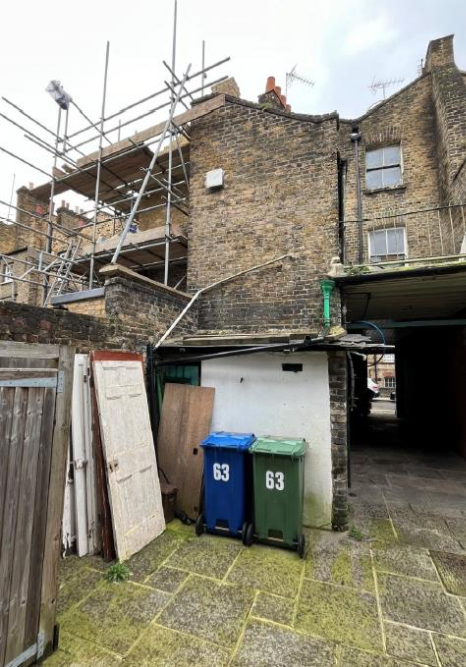
By the early 20th century, the remainder of the eastern side of Elliott’s Row comprises tenements. Following bomb damage suffered during WWII, parts of the area immediately adjacent the conservation area were cleared.
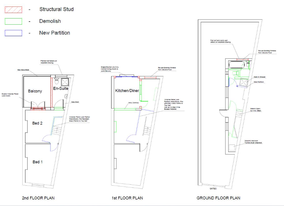
The property can be seen to be historically significant; principally due to it is early development and location on a street that exhibits a relatively varied and evolving typology, but also given the long, narrow nature of its layout, punctuated by the frequent subdivision of individual properties and therefore equally narrow plots; thus resulting in a finely grained townscape that together and in general terms, can be seen to date back to at least the early 19th century.
Our client commissioned us to undertake a Heritage Impact Assessment to address proposals for the repair, restoration and refurbishment of their property in Southeast London.
The document sets out the historic background of the locale and wider area, proposals and the potential for the significance of the relevant heritage assets to be affected.
The site is not statutorily listed in its own right and neither does this reside within the setting of any other statutorily designated heritage asset. It does however form part of a group of locally listed buildings recognised as such by Southwark Council in 2023.
The site is also located within the Elliott’s Row Conservation Area. Proposals would not appreciably alter the status quo, except in a positive manner, and are not considered to result in any negative impact upon the Conservation Area, or how the character or appearance of this is appreciated. Its special interest remains fundamentally unaffected by proposals.
Southwark was initially a suburb of Londinium, the Roman provincial capital of Britain. This growth spread along what is now Borough High Street, which – in an approximate sense – aligned with the original Roman Road and linked to various important roads running south.
In the Middle Ages, Southwark formed the bridgehead of London Bridge that remained the only bridge across the Thames until the mid-18th century. Southwark was the only prominent settlement on the southern side of the river during this time. Walworth Village was also listed in the Domesday Book (c.1086).
Westminster Bridge and Blackfriars Bridge were constructed in mid to late 18th. These new crossing points facilitated the development of land to the south of the Thames.
By the end of the 18th century, Walworth and the area around Elephant and Castle had evolved from a village to a high-class suburb of London.
By the early 20th century, the remainder of the eastern side of Elliott’s Row comprises tenements. Following bomb damage suffered during WWII, parts of the area immediately adjacent the conservation area were cleared.
The property can be seen to be historically significant; principally due to it is early development and location on a street that exhibits a relatively varied and evolving typology, but also given the long, narrow nature of its layout, punctuated by the frequent subdivision of individual properties and therefore equally narrow plots; thus resulting in a finely grained townscape that together and in general terms, can be seen to date back to at least the early 19th century.
